How Lyft Creates Hyper-Accurate Maps from Open-Source Maps and Real-Time Data
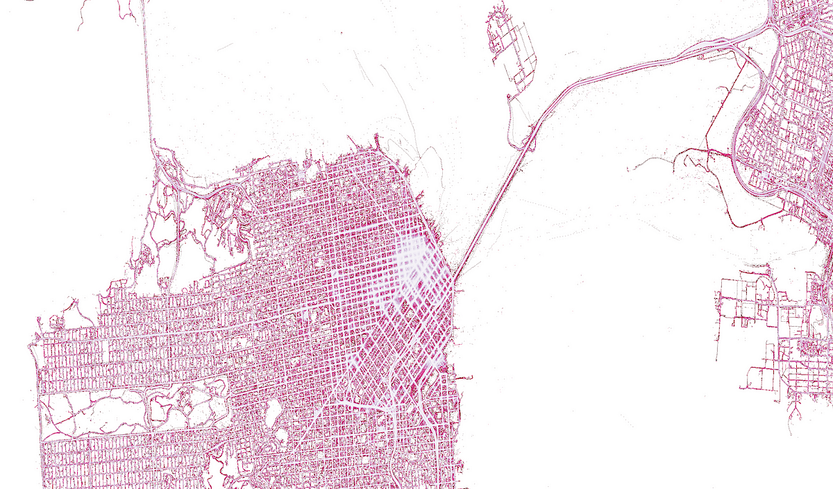
At Lyft, our novel driver localization algorithm detects map errors to create a hyper-accurate map from OpenStreetMap (OSM) and real-time data. We have fixed thousands of map errors in OSM in bustling urban areas. Later in the post, we share a sample of the detected map errors in Minneapolis with the OSM Community to improve the quality of the map.
Why are maps important for Lyft? Lyft’s mission to build the world’s best transportation relies on its inherent geospatial capabilities. For example, driver and passenger geolocations must be precisely known in order to efficiently pair drivers and passengers.
We also need precise knowledge of the road network to compute efficient routes and accurate estimated time of arrival from current driver position to pick-up point, and from pick-up point to drop-off point. Moreover, meticulous understanding of the road network is crucial to correctly compute the distance travelled by the drivers.
Source: lyft.com